The San Luis valley is located in Southern Colorado high up in the beautiful Rocky Mountains! Our club members are comprised of avid Outdoor Adventurers and Environmental Activists. We came together as a group to create an environment where we can enjoy our magnificent surroundings and work together to preserve and protect this incredible area.
Wednesday, August 31, 2011
Tuesday, August 30, 2011
Alder Bench Hike
Doug led us on a hike to a hill above Alder Bench Trail. We bushwhacked to the top and had lunch and took photos of the Rio Grande River and the Ponderosa Subdivision along Hwy. 149.
Barbara T.
Our Elevation Change. We ate lunch at the highest elevation.
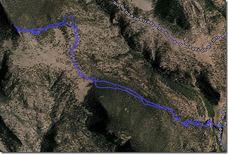
Our Route as seen from above.
Our fearless leader, guess who?
The Rio Grande River.
Bob Seago, hike photographer posing for a photo.
A better photo of our leader, Doug.
George.
The hill we climbed, we went up on the right hand side, and ended up on the point.
From the heights above Alder Creek valley
We basked in the sunshine and breezes on the peaks. We were reluctant to leave until we saw some distant clouds and lightning moving rapidly. The weather held until we reached the cars, then hit us with a deluge that pounded the windshields.
Thanks to the hikers for the breath-taking upward climb to the top of this conical peak that I see out of my window every day.It now adds new perspective, including knowing that the peak is covered with bristlecone and limber pines.
NEXT TUESDAY: We agreed to try San Luis Peak--imagining that September 6 weather will be less rainy. Both Bob and George have made this climb and urged us to depart South Fork's visitor center at 4:30 a.m., meeting them at the Creede Repertory Theatre at 5:00 a.m. That will get us off the high places before mid-afternoon storms. Current weather projections suggest that the jet stream is dipping south and will bring warm, clear weather for the new week. I'll let you know if things change--I know of only 7 people who have committed to go. Send me a note if you are interested.
Please join us--you can conquer this 14,000' peak--the highest on the north rim of the San Luis Valley-- or just enjoy the spectacular alpine ridge and the Continental Divide/Colorado Trails.
--Doug Knudson 873-5239
Alder Cr. Guard Sta, USFS
Ridgetop twisted wood
Bob,Moulds,Barb,George
•Tansy aster
•Scarlet Gilia Ipomopsis aggregata
S.SanJuans from Peak3. across Sentinel
Dramatic cliffs above Elk Cr. Ranch
Monday, August 29, 2011
Shallow Cr. Hike
Shallow Creek Hike
We had a good hike to the Yurt and stopped there for lunch. On the way back the guys moved a couple of downed trees out of our path. There were showers with thunder and lightning that helped us move a little faster down the mountain back to our vehicles. We went about 4.7 miles round trip.
Barbara
Tuesday (8/30) Ride
There will be an ATV ride Tuesday, Aug. 30, 9 AM at the visitor center, going up the Park Creek Area.
George Powell, president
Sunday, August 28, 2011
Tuesday hike change
After checking the weather forecast, we have decided to postpone our hike up San Luis Peak. Therefore, you won't have to get up early to hike that day. We'll try it again in September, when the rains (and lightning) aren't so prevalent.
At 9 a.m., we'll take a vigorous hike at lower elevations. We'll probably be back by 2 or 2:30 p.m.
I'll plan two alternatives, to fit in the potential of rain. My first choice is the familiar Alder Bench trail coupled with a several mile extension on north on the stock driveway with a parallel side trip or two to climb some of the hills for the views and the opportunities to breathe deeply.
Thanks to all for your flexibility. I'm still dreaming of climbing San Luis Peak and an overnight trip to top out on Colorado's highest peak, Mt. Elbert before the snows lie upon the heights.
-- Doug Knudson
Thursday, August 25, 2011
Mineral County Rescue Angels
We decided that since most of our hikes (both Creede & South Fork hikers) are in Mineral County that it would be nice if we could make a monetary donation to the MCRS on behalf of all of the hikers from both towns. Both Bill & I heartily recommend this since the MCRS made an AWSOME and EXTREMELY LONG rescue trip for me up on Lake Fork Trail a year ago in June! Several of us made donations to them last year and we thought that before our summer visitors go back for the winter it would be nice to do so again. The rescue service is extremely qualified, as well as totally dedicated, to the excellent care of those in need who are taking advantage of the benefits and beauty of our area.
I don't have a list of email addresses of all of the hikers, so I'm wondering if you could help us get the word out to everyone who does hike. Also, we are hoping that you would be willing to take donations on the next few hikes from those who wish to give something.
Sue Romine in Creede has volunteered to take the collected funds by to the Rescue Service in Creede. Sue & John are leaving on Sept. 21, so we only have a few hikes left to take in donations.
Please call either Bill or me if you have any questions, and we appreciate your help in getting the word out!
Thanks so much!
Dawn Klein
Snowshoe Mountain Hike
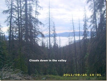
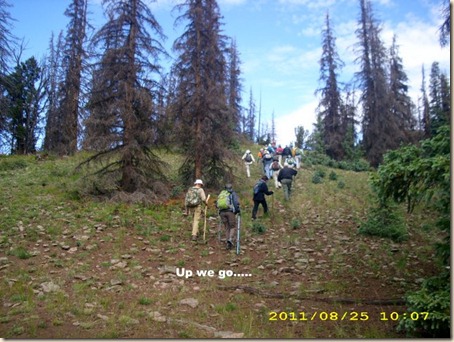
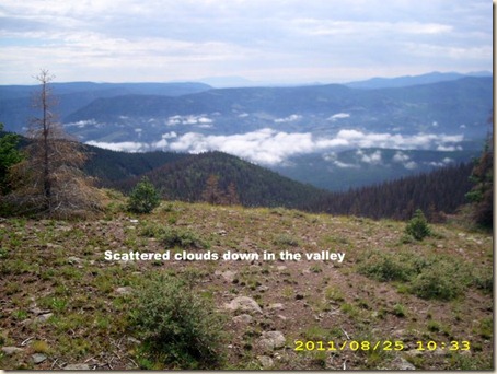
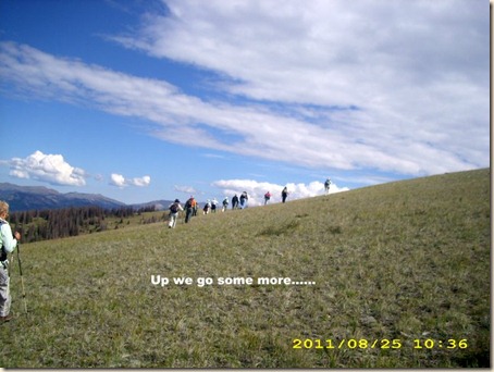
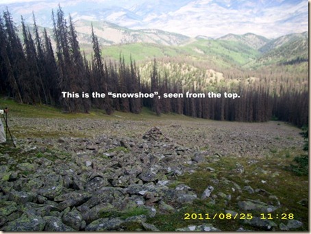
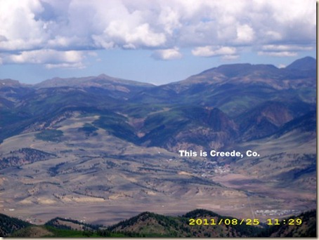
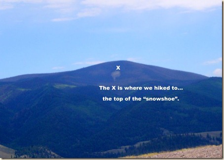
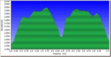
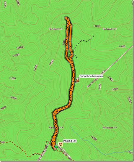
John & Tristan led the Silverthreaders and Creede hikers up to the top of Snowshoe Mtn. and then some of us went down! to the snowshoe itself (it is a rock field in the shape of a snowshoe) for lunch. Then the steep! trek back to the top of the hill............
Everybody was enthused and delighted with the scenery and the 360 degree views. Thank you John & Tristan for a great outing!!
Wayne & Linda will lead us on a hike Monday and Doug will lead you on Tuesday. I will take you on the Tewksberry trail next Thursday, it will be a crossover hike with a group starting at each end of the trail. The trail is 7 miles long, we will exchange car keys when we meet on the trail.
Dennis
Up and Down and Up and Down…
This was our path


